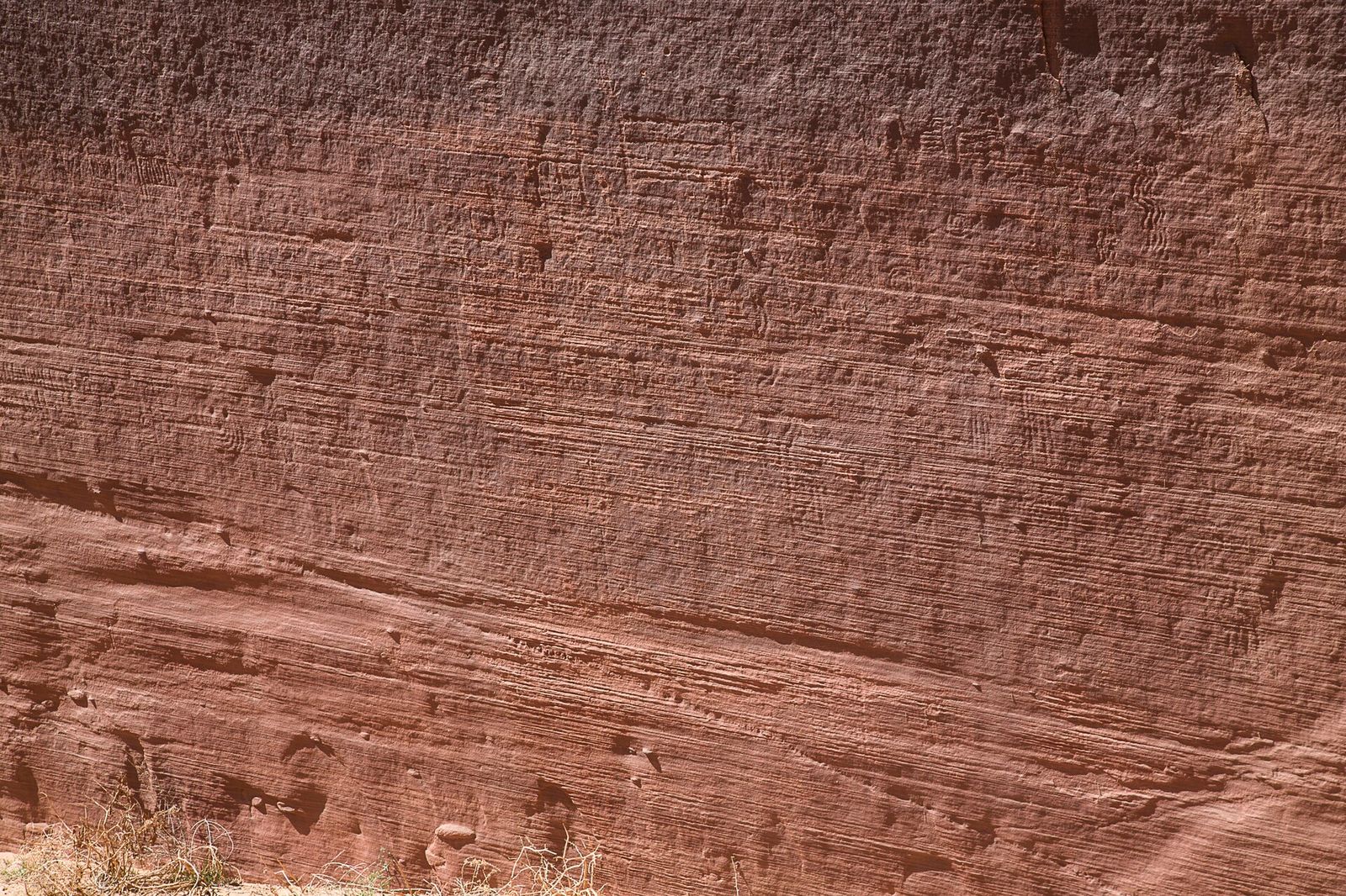
Ancient layered sandstone cliffs in Vermilion Cliffs National Monument reveal millions of years of Arizona geological history.
Points of Interest

Vermilion Cliffs National Monument

Layers of red rocks display clear stratifications at this designated national monument.

(1,271)
Marble Canyon, AZ

About

The Vermilion Cliffs rise in banded red-and-orange sandstone along Highway 89A between Jacob Lake and House Rock Valley, one of the most striking drives in northern Arizona. This BLM-managed national monument covers roughly 280,000 acres of high desert, stretching from the Kaibab National Forest west of here to Glen Canyon National Recreation Area, and it includes the Paria Canyon-Vermilion Cliffs Wilderness. Elevations swing from about 3,100 to 7,100 feet, which is part of why the terrain and light change so much as you move through it.

What you'll see

  • Layered red-rock cliffs with clear stratification, visible right from the highway pullouts
  • Released California condors, part of an ongoing captive-breeding recovery program in the area
  • Access point for the Wave at Coyote Buttes, permit-only via lottery through the BLM

Most visitors experience the monument simply by driving 89A between Jacob Lake and Marble Canyon or on toward Page — there are several pull-offs for photos, and the views hold up in any weather; a couple of reviewers specifically call out how the cliffs look even better under passing rain clouds. If you want to get into the backcountry itself, whether that's the Wave, White Pocket, or the wilderness canyons, check the BLM website first, since much of the terrain requires permits or high-clearance vehicles and there's no visitor center out here.

Reviews (1,271)

See all on Google
4.7

1,271 reviews

Write a review
Cason Haffner
Cason Haffner

2 months ago

This place has been on my bucket list for years due to the wind caved tunnels. Never thought I would give a nature spot a bad review but was incredibly disappointed. For starters I didn’t realize that just a cliff wall. On the drive you see so many that are far prettier. I was feeling so confused when it said I made it. Ofc there was no service in the area. I finally realized after driving to service and coming back there’s an entrance into the park but you need 4WD. It’s very rocky for about an hour to get to the interesting part. Things have been so drivable up to this point I was very unprepared. I think just be aware that you are just driving to the cliffs with this location. If I had known I would have selected a different route personally.

Heather S.
Heather S.

4 months ago

Beautiful and expansive. You have great views as you drive on 89A. There are a few pull-off spots as you're driving if you want to take pictures.

Barbara
Barbara

11 months ago

Without question, driving to Vermillion Cliffs on Rt 89A from Kanab to Rt 89 to Horseshoe Bend and Page, was the best motorcycle ride!! Truly unbelievable, unmatched beauty and scenery everywhere you look. Pictures and videos do little justice to this beautiful ride. Must do if staying in Kanab area like we did!!

Nadja
Nadja

10 months ago

Had the rare opportunity to visit Vermillion Cliffs with rain. The clouds around the cliffs make it even more enigmatic. They are majestic, even when just looking from the road. Large area with colorful sandstone formations. Visited White Pocket and would love to explore more of the area. To visit the wave you need a permit. I tried the daily lottery but no luck this time!

Rick White
Rick White

a year ago

A spectacular journey through some beautiful landscapes in Northern Arizona. Highly recommend to anyone traveling through the area or visiting the Grand Canyon and other areas near Paige or Flagstaff. Visited in May 2024.

Powered by Google