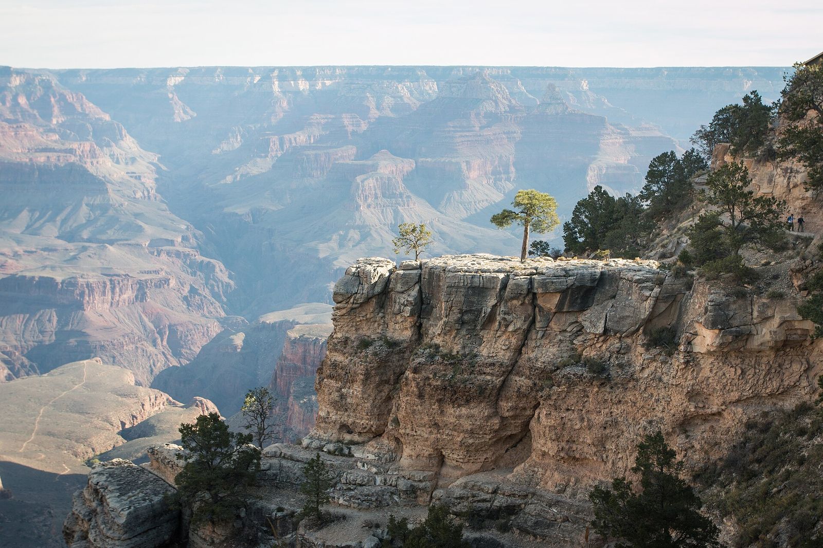
Bright Angel Trail
The classic descent from the South Rim toward the Colorado River
About
Bright Angel Trail is the park's most popular route below the South Rim, dropping from Grand Canyon Village down toward the Colorado River along a path used long before it was a tourist trail, by the Havasupai and other Indigenous people, then by miners in the 1890s. It's well graded and easier underfoot than most inner-canyon routes, but the NPS is blunt that all trails into the canyon are steep and difficult, and the climb back out takes far longer than the way down.
Turnaround points
- Mile-and-a-Half Resthouse: 3 miles round trip, about 1,120 feet of elevation change
- Three-Mile Resthouse: 6 miles round trip, about 2,120 feet of elevation change
- Havasupai Gardens: 9 miles round trip, about 3,040 feet of elevation change, with year-round water and a former Havasupai farming site now marking roughly the trail's midpoint
- Plateau Point: 12 miles round trip, about 3,080 feet of elevation change
Water stations at the Mile-and-a-Half and Three-Mile resthouses run seasonally, typically May through October, and can go dry regardless of season, so carry your own. The trail sits in a side canyon and gets morning and afternoon shade, a rarity below the rim.
Best Time to Hike Bright Angel Trail
Water stations at the Mile-and-a-Half and Three-Mile resthouses run seasonally, typically May through October, and can go dry regardless of season, so carry your own. Summer heat below the rim is severe; plan to be off the exposed sections during the hottest part of the day and rely on the trail's shade where you can.
Trail Tips for Bright Angel Trail
- Plan on the climb back out taking roughly twice as long as the way down — descend using about a third of your time budget, ascend using the rest.
- Eat salty snacks alongside water on any hike over 30 minutes; water without food can cause hyponatremia, a real risk on a hike this long.
- If you encounter a mule train, step off on the uphill side, stay quiet and still, and wait until the last mule is 50 feet past before continuing.
Turnaround Points on Bright Angel Trail
- Mile-and-a-Half Resthouse: 3 miles round trip, about 1,120 feet of elevation change
- Three-Mile Resthouse: 6 miles round trip, about 2,120 feet of elevation change
- Havasupai Gardens: 9 miles round trip, about 3,040 feet of elevation change, with year-round water and a former Havasupai farming site marking roughly the trail's midpoint
- Plateau Point: 12 miles round trip, about 3,080 feet of elevation change
What to Expect on Bright Angel Trail
Bright Angel Trail is the park's most popular route below the South Rim, dropping from Grand Canyon Village toward the Colorado River along a path used long before it was a tourist trail, by the Havasupai and other Indigenous people, then by miners in the 1890s. It's well graded and easier underfoot than most inner-canyon routes, but the NPS is blunt that all trails into the canyon are steep and difficult, and the climb back out takes far longer than the way down. The trail sits in a side canyon and gets morning and afternoon shade, a rarity below the rim.
Reviews
See all on GoogleNo reviews yet for this listing.