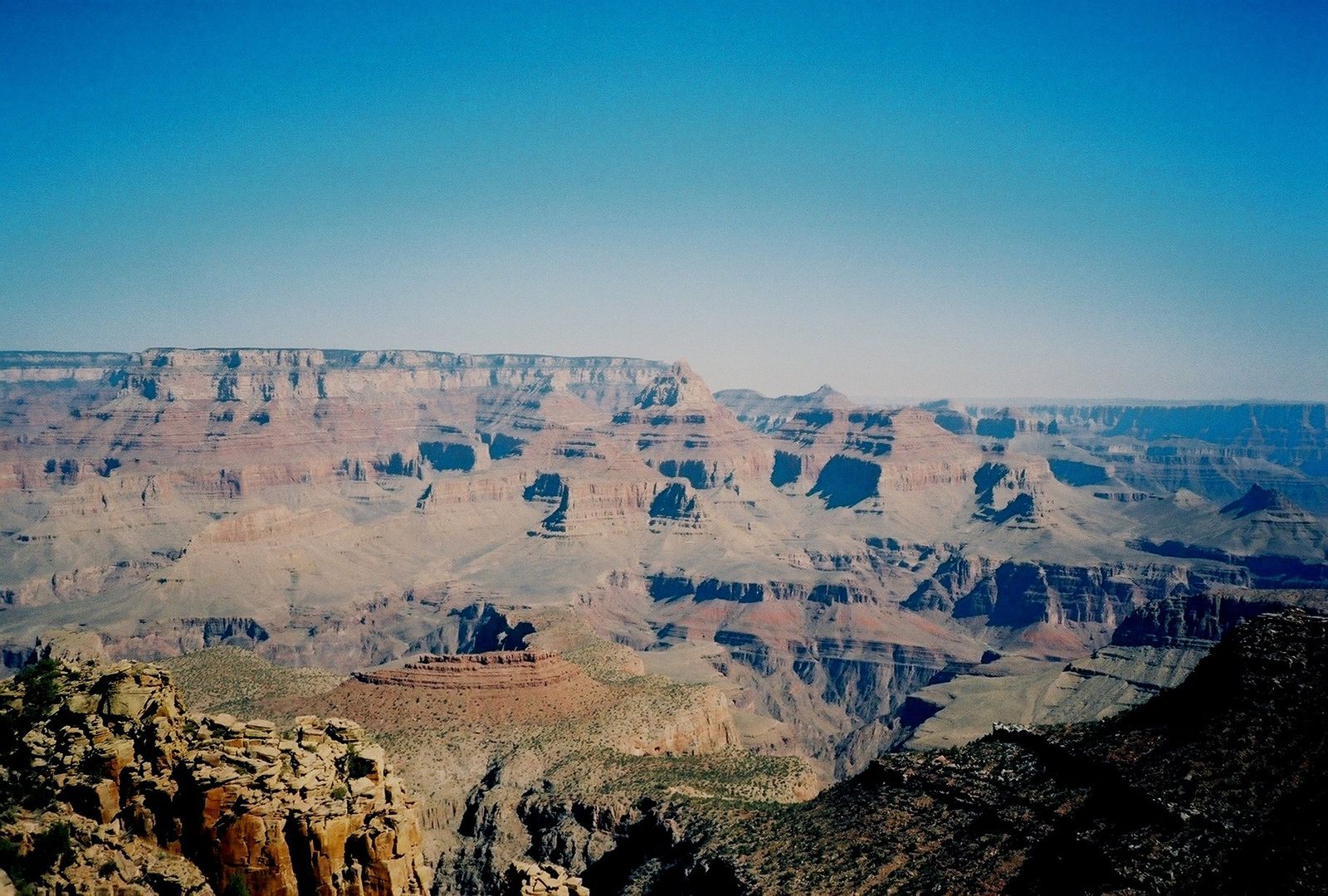
Horseshoe Mesa
A steep mining-era trail to a mesa full of history
About
Horseshoe Mesa is a broad, horseshoe-shaped plateau roughly 2,500 feet below the South Rim, reached by descending the Grandview Trail from Grandview Point on Desert View Drive. It's a 6-mile round trip to the mesa with about 2,500 feet of elevation change, and the National Park Service rates the Grandview Trail as rougher going than the Bright Angel, South Kaibab, or Hermit trails — narrow, steep, and cut with big rock steps and drop-offs, built originally to serve copper mining operations rather than casual foot traffic.
What's there
The mesa top still holds scattered remnants of the 1890s Last Chance copper mine, including old masonry structures and mining debris, along with sweeping views back into the inner canyon. There's no reliable drinking water anywhere on the route — springs below the mesa aren't dependable — so anyone hiking in carries everything they'll need.
- Trailhead: Grandview Point, South Rim (Desert View Drive)
- Distance: about 6 miles round trip to the mesa, 2,500 ft elevation change
- Overnight camping on the mesa requires a backcountry permit (zone BF5)
Best Time to Hike to Horseshoe Mesa
There's no reliable drinking water anywhere on the route — springs below the mesa aren't dependable — so cooler months reduce the risk of a hike that already demands carrying everything you'll need.
Trail Tips
- The mesa top still holds scattered remnants of the 1890s Last Chance copper mine, including old masonry structures and mining debris, along with sweeping views back into the inner canyon.
- Overnight camping on the mesa requires a backcountry permit (zone BF5).
- Carry every drop of water you'll need — do not count on the springs below the mesa.
Getting to Horseshoe Mesa
It's a 6-mile round trip to the mesa with about 2,500 feet of elevation change from the Grandview Point trailhead on Desert View Drive.
What to Expect at Horseshoe Mesa
Horseshoe Mesa is a broad, horseshoe-shaped plateau roughly 2,500 feet below the South Rim, reached by descending the Grandview Trail from Grandview Point on Desert View Drive. The National Park Service rates the Grandview Trail as rougher going than the Bright Angel, South Kaibab, or Hermit trails — narrow, steep, and cut with big rock steps and drop-offs, built originally to serve copper mining operations rather than casual foot traffic.
Reviews
See all on GoogleNo reviews yet for this listing.