Komo Point Trail
A faint former forest road to a lonely North Rim overlook
About
Komo Point Trail follows an old, seldom-traveled forest road on the North Rim, reached from Cape Royal Road. It's an above-the-rim route — no descent into the canyon here — that heads south through a forest still marked by a past wildfire, with standing burned trees and downfall along the way. The path grows faint in stretches, so this one rewards hikers comfortable with light route-finding rather than a clearly signed trail.
What to expect
- About two-thirds of the way in, the route forks: left toward Ariel Point, right to continue on to Komo Point.
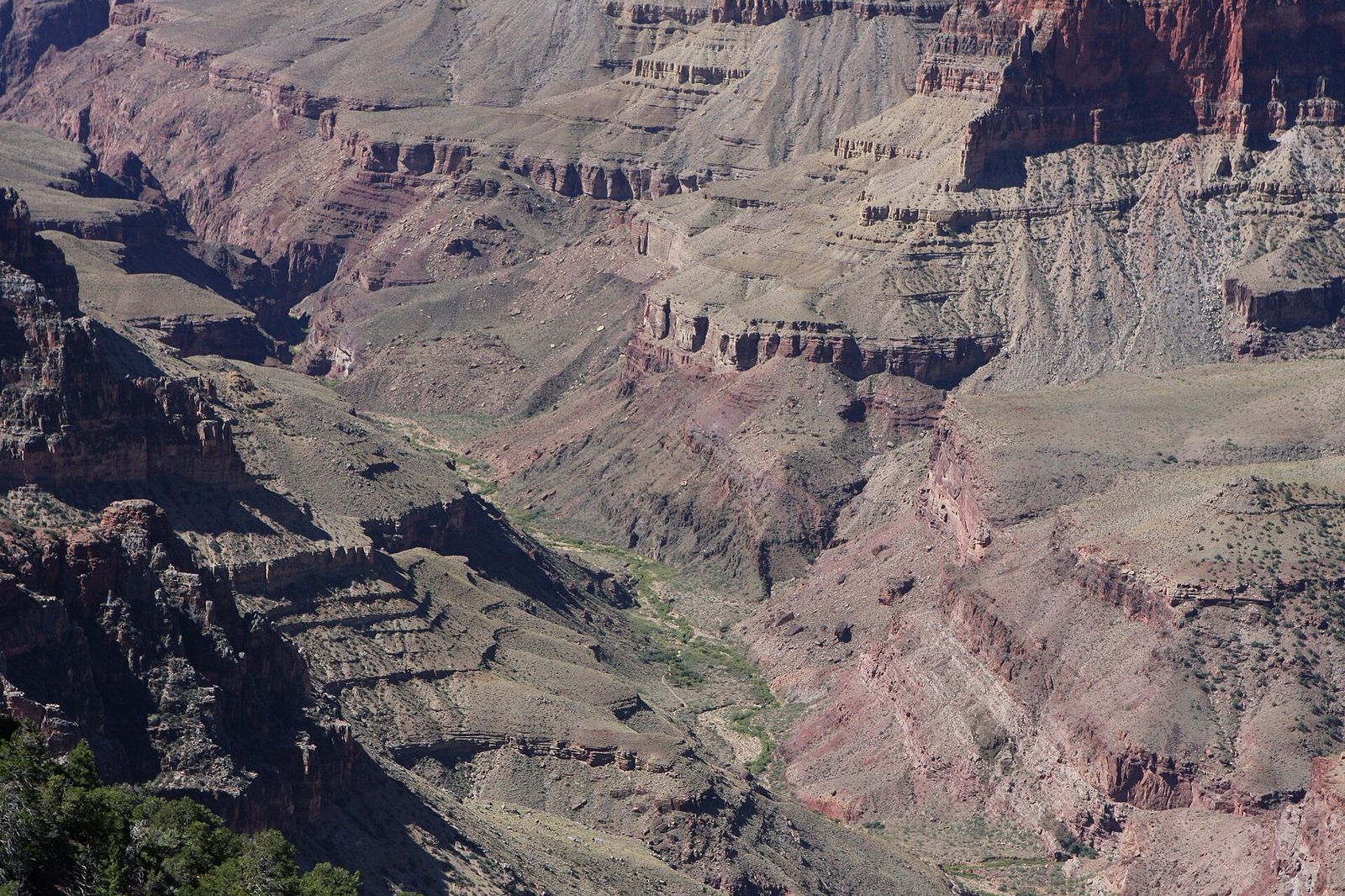
- The trail ends at a rugged overlook on the rim, where a large faded yellow ball marks a reference point once used by aerial cartographer Bradford Washburn during his Grand Canyon mapping surveys.
- It's an out-and-back — there's no loop option, so plan on retracing your steps to the trailhead.
Because it's an old road bed rather than a maintained trail, expect a quiet, little-used walk with no facilities and no shade relief in the burned sections.
Best Time to Hike It
Like the rest of the North Rim, this route is only accessible during the park's seasonal operating window.
Trail Tips
- The trail ends at a rugged overlook on the rim, where a large faded yellow ball marks a reference point once used by aerial cartographer Bradford Washburn during his Grand Canyon mapping surveys.
- Because it's an old road bed rather than a maintained trail, expect a quiet, little-used walk with no facilities and no shade relief in the burned sections.
- Carry a map or GPS track given the faint tread in stretches.
Getting to Komo Point
About two-thirds of the way in, the route forks: left toward Ariel Point, right to continue on to Komo Point. It's an out-and-back — there's no loop option, so plan on retracing your steps to the trailhead.
What to Expect on Komo Point Trail
Komo Point Trail follows an old, seldom-traveled forest road on the North Rim, reached from Cape Royal Road. It's an above-the-rim route — no descent into the canyon here — that heads south through a forest still marked by a past wildfire, with standing burned trees and downfall along the way. The path grows faint in stretches, so this one rewards hikers comfortable with light route-finding.
Reviews
See all on GoogleNo reviews yet for this listing.