New Hance Trail
The South Rim's toughest established trail, down John Hance's original route to the river
About
The New Hance Trail drops from the South Rim to the Colorado River through Red Canyon, and the National Park Service calls it the most difficult established trail on the South Rim. It's unmaintained, unmarked at key junctions, and recommended only for experienced canyon hikers with solid route-finding skills.
Trail Stats
- 6.5 miles one-way, dropping from about 6,982 feet at the trailhead to 2,560 feet at Hance Rapids on the Colorado River
- The first mile through the Kaibab and Toroweap layers is steep scrambling and short down-climbs; the Coconino section is faint and hard to follow, especially after snow
- Below the Redwall the trail follows a dry wash and then the bed of Red Canyon itself down to the river
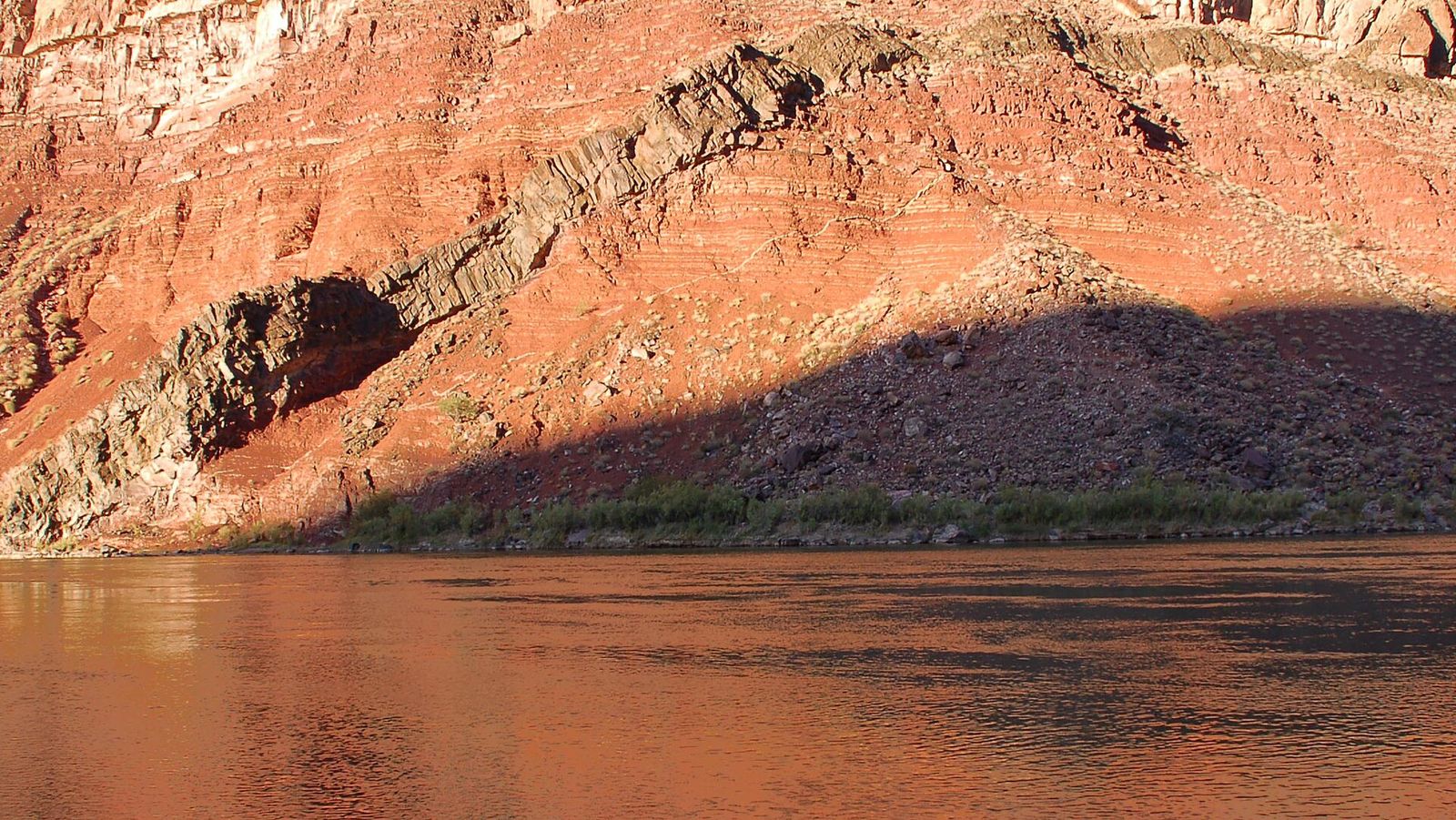
The trail closely follows John Hance's original 1894 route, built after his first path into the canyon kept washing out. Along the way it crosses the colorful Supergroup rock layers, including the orange Hakatai Shale and, near the bottom, Bass Limestone outcrops holding 1.2-billion-year-old stromatolites. There's no reliable water between the rim and the river; small springs sometimes run in Red Canyon from late fall through April. Park at Moran Point or the pullout east of Buggeln picnic area on Desert View Drive.
Best Time to Hike New Hance Trail
There's no reliable water between the rim and the river; small springs sometimes run in Red Canyon from late fall through April, a factor worth weighing when planning your season.
Trail Tips
- The first mile through the Kaibab and Toroweap layers is steep scrambling and short down-climbs; the Coconino section is faint and hard to follow, especially after snow.
- Below the Redwall the trail follows a dry wash and then the bed of Red Canyon itself down to the river.
- Along the way it crosses the colorful Supergroup rock layers, including the orange Hakatai Shale and, near the bottom, Bass Limestone outcrops holding 1.2-billion-year-old stromatolites.
Getting to New Hance Trail
Park at Moran Point or the pullout east of Buggeln picnic area on Desert View Drive. The trail runs 6.5 miles one-way, dropping from about 6,982 feet at the trailhead to 2,560 feet at Hance Rapids on the Colorado River.
What to Expect on New Hance Trail
The New Hance Trail drops from the South Rim to the Colorado River through Red Canyon, and the National Park Service calls it the most difficult established trail on the South Rim. It's unmaintained, unmarked at key junctions, and recommended only for experienced canyon hikers with solid route-finding skills. It closely follows John Hance's original 1894 route, built after his first path into the canyon kept washing out.
Reviews
See all on GoogleNo reviews yet for this listing.