Day HikeGrand Canyon interior
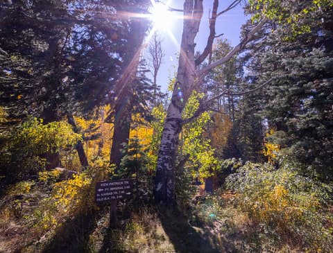
Ken Patrick Trailhead
A quiet North Rim trailhead, partly closed for 2026 after fire damage
(0)
Trails, viewpoints, and hikes in and around Grand Canyon National Park
The National Park Service is explicit about this: there is no easy way down to the Colorado River and back in a single day, and it actively discourages attempting a rim-to-river-to-rim day hike, especially in summer heat. Bright Angel Trail and South Kaibab Trail are the two maintained corridor trails from the South Rim into the canyon — both have no reliable water above certain points (Bright Angel has seasonal water stations; South Kaibab has none below the rim), and temperatures at the canyon floor regularly run 20-25 degrees hotter than the rim.
Overnight backcountry camping below the rim requires a permit, awarded through the park's own advance lottery/request system — Phantom Ranch itself (a bunkhouse rather than backcountry camping) uses a separate 15-month lottery shared with its lodging reservations.
The North Rim's trails are higher in elevation and open only roughly mid-May through mid-October, when the road and facilities are open; it closes for the season with the first significant snowfall, typically by early December.
214 listings found
A quiet North Rim trailhead, partly closed for 2026 after fire damage
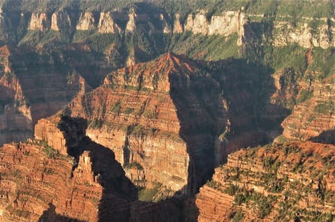
A brushy off-trail scramble to a knife-edge summit above Nankoweap Canyon
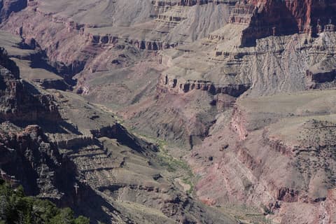
A faint former forest road to a lonely North Rim overlook
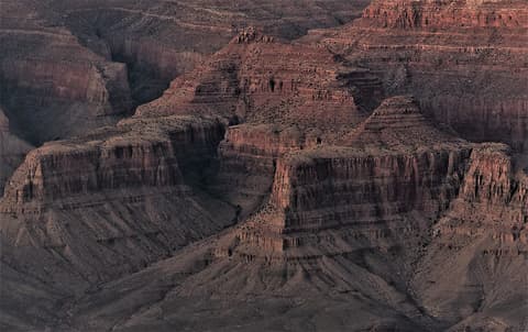
A Hindu-named summit beside Vishnu Temple on the North Rim's Walhalla Plateau
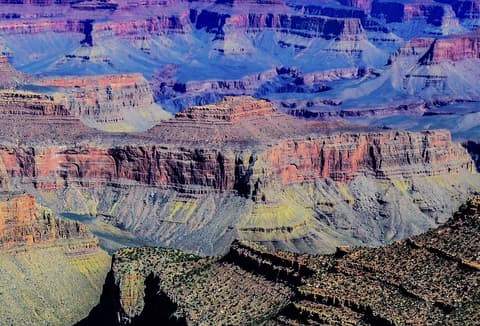
A layered limestone summit rising above the Tonto Trail, named for a 19th-century geologist.
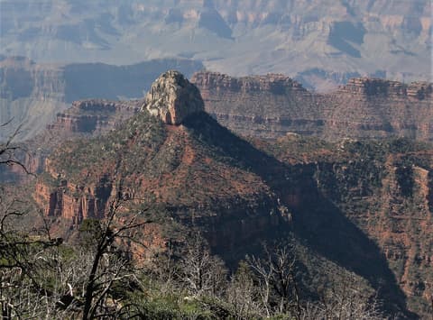
A mythologically named sandstone temple rising above Bright Angel Canyon
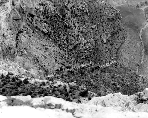
A wide-open South Rim overlook with a uranium-mining past
A wide-open South Rim overlook above the old Orphan Mine
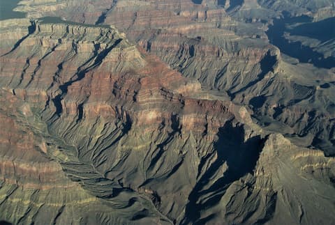
A river-gorge summit named for a paleontologist, seen from Pima Point
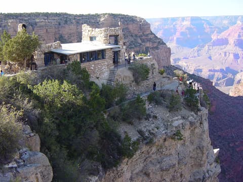
A 1914 stone studio built into the rim, with terraces looking straight down into the canyon
The easy walk from camp to the canyon's main hub
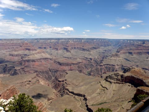
The South Rim's first big view, steps from the Visitor Center
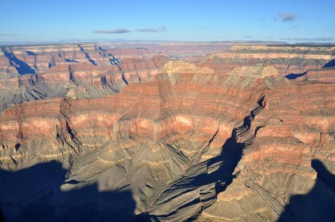
One half of the canyon's philosopher-named Twin Buttes, seen from Point Sublime
The National Park Service actively discourages this — it's a serious, often dangerous undertaking, especially in summer heat, and is responsible for the majority of the park's search-and-rescue incidents. Plan an overnight instead if you want to reach the river.
Bright Angel Trail has seasonal water stations at several points; South Kaibab Trail has no water available below the rim at all. Carry more water than you think you'll need on either trail.
Yes — overnight backcountry camping requires a permit through the park's own advance request/lottery system, separate from day hiking, which needs no permit. Phantom Ranch's bunkhouse uses its own separate 15-month lottery, shared with its lodging reservations.
Roughly mid-May through mid-October, when the road and facilities are open. It closes for the season with the first significant snowfall, typically by early December, and the South Rim stays open year-round in contrast.